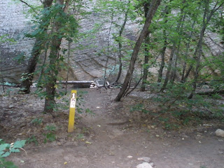
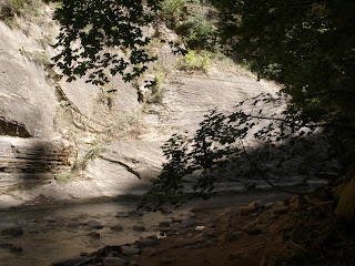
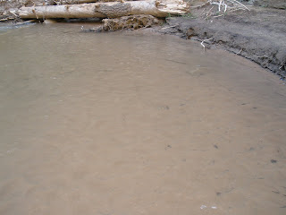
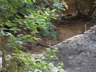
The basics of the hike: 15 plus miles, mostly downhill; no maintained trail; once you are dropped at the isolated start of the hike there is only one way to go - through. We have always hiked it in September. These pictures are from September 2009.
I wanted to kind of 'document' the hike this year - show the kinds of trail you hike and the scenery. Unfortunately, the farther you get into the hike, the more time consuming that becomes, because you are in the water and you want to keep your camera dry, so every picture becomes a process: stop, remove camera from pack, remove camera from ziplock bag, take picture, return camera to ziplock bag, and return it to the pack. If I do this hike again, I will get a waterproof camera container that can be hooked to a pack strap in front.

Here we are awake and raring to go around 4:45 am - Dad, Steven, Kerri, Chad, me, Marty, Andrew, Michelle and Rachel. Marty is my brother, Kerri and Steven are 2 of my children, Rachel, Chad & Andrew are Marty's, and Michelle is brother Dan's daughter.

We use one of the shuttle services in Springdale to drive us to the drop off point - about an hour and a half away. Here we're waiting to get going. A long part of the drive is on dirt road, climbing a winding road and it isn't uncommon to have at least one person feel a little sick during the drive.

The trail at the top actually is on private property - Chamberlain's Ranch. Here we are, poles at the ready, excited to be on our way.

The kids were a little goofy with the cattle this trip.

First steps and the first mile or two are on a dirt road through the ranch.

Your feet get wet within minutes at the start. The air is usually cold early in the morning and the water is COLD.

But then you have these 2 miles without water - or rocks. This area is slated for development, so the roads have been more graded. I don't know what development will mean for the Narrows hike.

Michelle lying out with the cattle.

Down to tire track road.


I've forgotten the name of the cabin, but this little field is where they bring in the rescue helicopter when needed.

And then the road is gone and the Narrows 'trail' begins. The trail is basically the river bed. It is different every year, as rocks and dirt are moved around by the spring run off and floods. Even here at the top you have to do a lot of river crossing, back and forth.

Michelle, me, Kerri & Dad.

Kerri, Rachel and Dad.

Marty and Andy. The river is gradually dropping into the canyon.


Trees and forest-like hiking conditions.

Crazy rock formations.


Sturdy walking poles are a great asset on this hike as you walk across increasing current and water depth. Here's Chad showing how it's done, with Andy and Rachel in the back.


Even up at the top there are times when the only 'trail' is the river itself.

Yes, that is the trail there in the scrub oak.

My dad used two old ski poles this year and liked them, for the most part.


A squirrel.

And then you enter the Narrows - rock cliffs on either side. This will open up - and close down - throughout the hike.


This is what you spend a lot of the hike walking on. It gets very tiring. The books describe the hike as walking on slippery bowling bowls. That's accurate.


Andy finding a hole to stand in.

I always am very, very grateful when the trail becomes gravel in the water, instead of the bigger rocks.

Break time!

The water is becoming deeper.

A true 'narrows' section where there is no high ground.


An arch in the making.


This year we encountered more log jams than in the past.


Another good spot to rest.

Chad's red legs from the cold water.


There are 12 campsites in the Narrows. It is a good landmark when you see the first of these as you then know about how far you are into the hike.

This waterfall is 20 feet high. Many a person has sustained serious injury jumping off of it. When that happens, a rescue team has to hike in, load the injured person onto a stretcher and hike them out. There is no other way. And this is more than a few hours in.


This narrow gap in the rock allows a way around the waterfall.


Even out of the water, most of the 'trail' is rocky.


This is the other new adventure this year - soul and shoe sucking silt. I got stuck in one bog. Steven was helping me out when I lost one shoe and then the other. It was a mess.


Steven giving me a snarl.

There are a couple of things you really don't want to have on this hike: storm clouds which could mean rain and thunder, which could mean rain. We had them both this time. Luckily, there was very little rain.


Big Springs is a garden of Eden before the last long push. Unfortunately, my pictures this year don't do it justice.


Because of the rumbling thunder and storm clouds, we were anxious to move on as there is a 3 mile stretch of narrows with no high ground if there is a flash flood. I had a little melt down here, but got better :) But I was forbidden from taking pictures after this because it was slowing me down even more than I was already slowing down. So I only have a couple of pictures from the following few hours.

Deep water - unavoidable. From Big Springs on to the end - more than 3 miles - there is no longer a trail of any kind. You are simply in the river. (By the way - Steven is 6 ft tall, to give you an idea of the depth. There are sections every year where you have to swim.)

Mystery Falls.

You can see the end of the river portion of the hike, there on the left at the point.

Steps out of the river.

Many people hike up river a ways - some as far as Big Springs - and back from this point to experience the Narrows.

The River Walk is a mile long out to the shuttle stop.


Me and Kerri waiting for the rest of the group. The hike took 10 1/2 hours this time.


We got off on the wrong stop, but, because we did, we saw all these deer that were feeding on the grounds.


Back on the shuttle to our cars.


I have worn my Keen water hikers the last three years. They pick up rocks in a very annoying way. So, it's tennis shoes from here on out, which we have discovered work great.
These are gorgeous pictures. Thanks for sharing. You guys are awesome. I love Southern Utah. Dave and I hiked this when we were first married. I would love to do it again.
ReplyDelete